The Galapagos Islands in Maps
The Galapagos Islands are located in the Pacific Ocean, off the coast of mainland Ecuador. Some of the most unique landmasses in the world, they are volcanic and are home to some incredible creatures found nowhere else in world. If you’re thinking of a trip to the Galapagos Islands, one of the first things you might search for is a “Galapagos Islands map”, to help you figure out where each island is located and to familiarise yourself with the islands’ positions. In this blog, we provide a handful of maps which help you discover the Galapagos Islands.
Scroll down for some great Galapagos Islands maps! Learn a little about where the islands are found in the world as well as where to find which islands.
Where are the Galapagos Islands located?
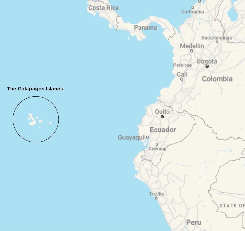
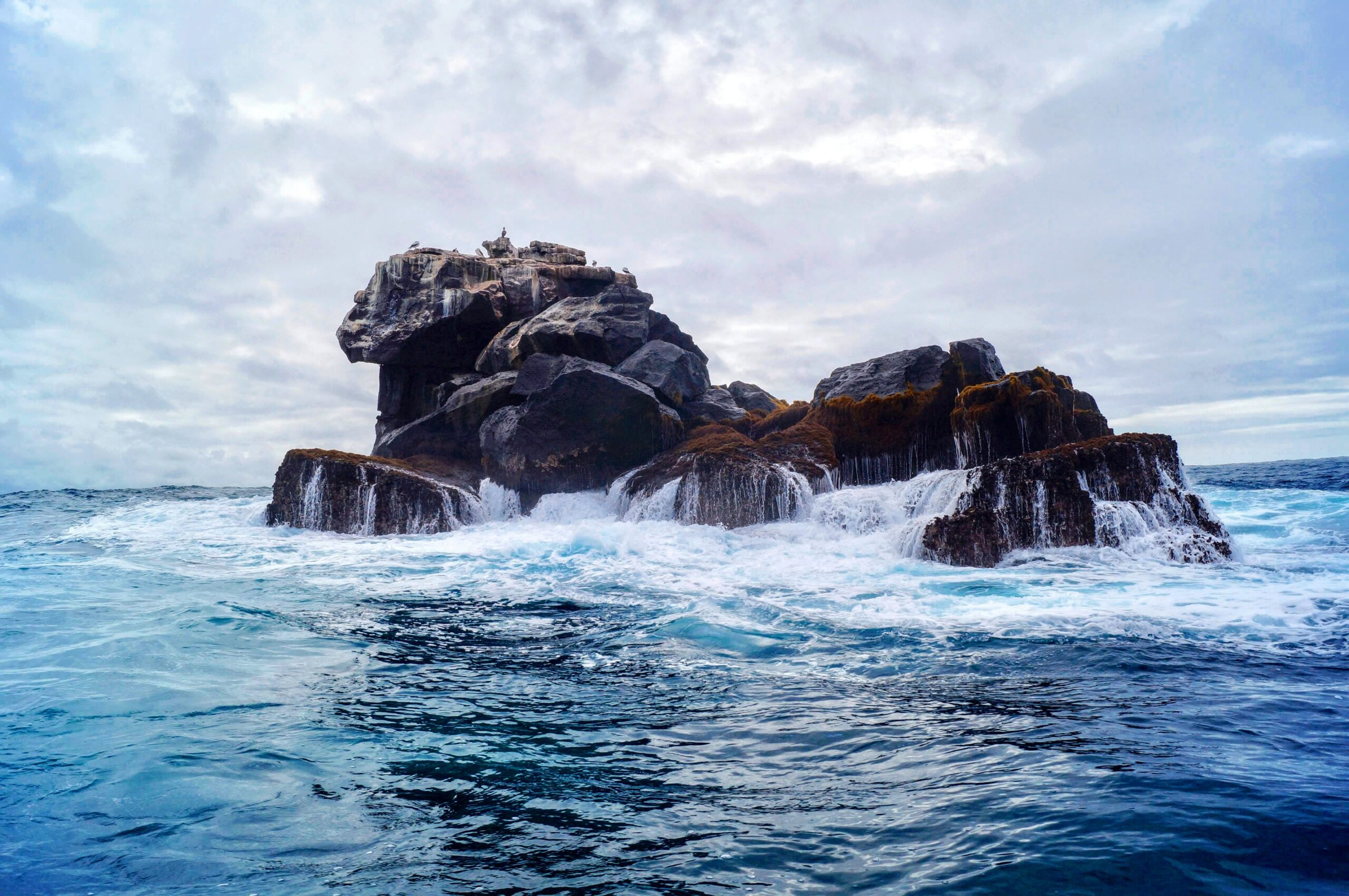
The Galapagos Islands are located in the Pacific Ocean, about 966 kilometres off of the Ecuadorian coastline. They are a part of Ecuador. As a volcanic archipelago, they were created between three and five million years ago when volcanoes erupted in the Pacific Ocean. Flowed through by the Humboldt Current, the islands receive a current of cold, nutrient-rich water which comes from the southern tip of Chile. This current helps to make the Galapagos Island what it is, and supports its rich biodiversity.
The Galapagos Islands and their surrounding seas are known as the Galapagos Province of Ecuador as well as the Galapagos Marine Reserve and the Galapagos National Park.
Check out the below map to familiarise yourself with the region, located west of the South American coastline.
How many Galapagos Islands are there?
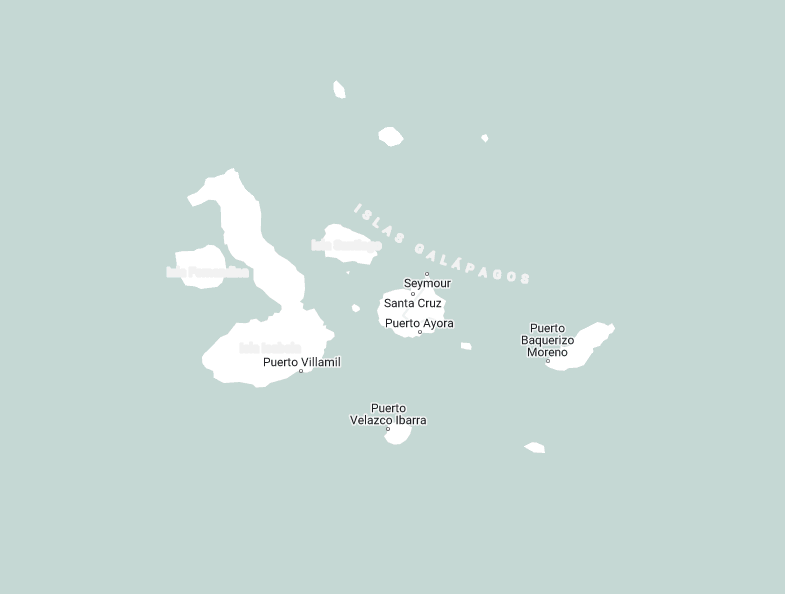
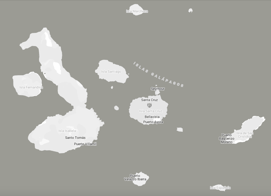
The Galapagos Islands are comprised of thirteen main islands and a number of smaller islands. These thirteen islands are called: Baltra, Española, Fernandina, Floreana, Genovesa, Isabela, Marchena, Pinta, Pinzon, San Cristobal, Santa Cruz, Santa Fe, and Santiago.
Which Galapagos Islands are uninhabited?
Of these thirteen islands, you may be interested to know that only four are inhabited! These islands include Isabela, Floreana, San Cristobal and Santa Cruz. These four islands are home to local populations – both rural and urban communities – as well as vast areas of Galapagos National Park. The rest of the islands are completely devoid of human presence. This vast national park space and its untouched natural beauty makes up one of the most special characteristics of the Galapagos Islands.
Which are the smallest and largest Galapagos Islands?
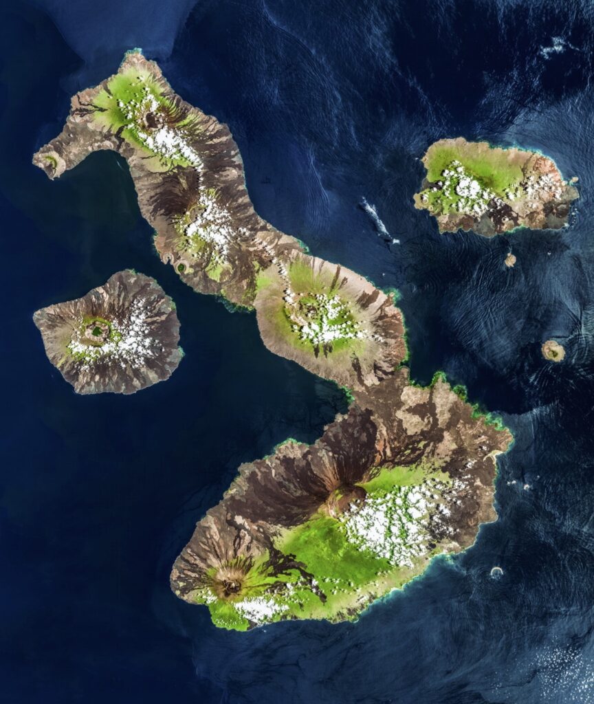
At barely 1 square kilometer, Darwin Island is one of the smallest isles that the Galapagos Archipelago holds. However, you can’t see it on the map below – it is located further north from the main collection of islands. Isabela Island is the largest island at about 4,586 km² – it is identifiable as the seahorse-shape landmass to the west, in the Galapagos Island map below.
The map below shows the Galapagos Islands. Varying in size, they are found fairly close together. As a visitor to the islands, you can access the island with public boats or a flight (between islands themselves as well as to the mainland).
Take a look at the Galapagos Islands Map below to learn about the position of the islands.
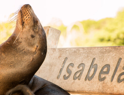
Some information about Isabela Island
Isabela Island is the largest island in the archipelago. Its uncanny seahorse shape makes it unmistakable from the air, as shown in the map below. At 4,586 km², it is almost twice as large as the country of Luxembourg and it is 100 kilometres in length. Isabela is also home to six amazing shield volcanoes – each delineated by a large summit caldera. Its main settlement and town is found on the south coast of the island and is called Puerto Villamil.
Visitors to Isabela Island are able to fly to Puerto Villamil, or take a boat from other islands. You can learn more about how to get to Isabela Island, with the help of this handy blog.
What is there to do on Isabela Island?
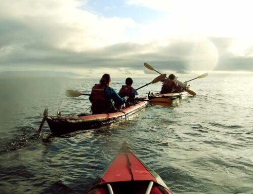
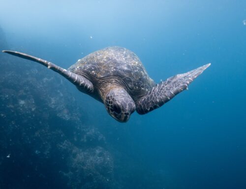
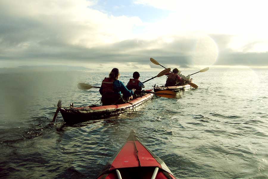
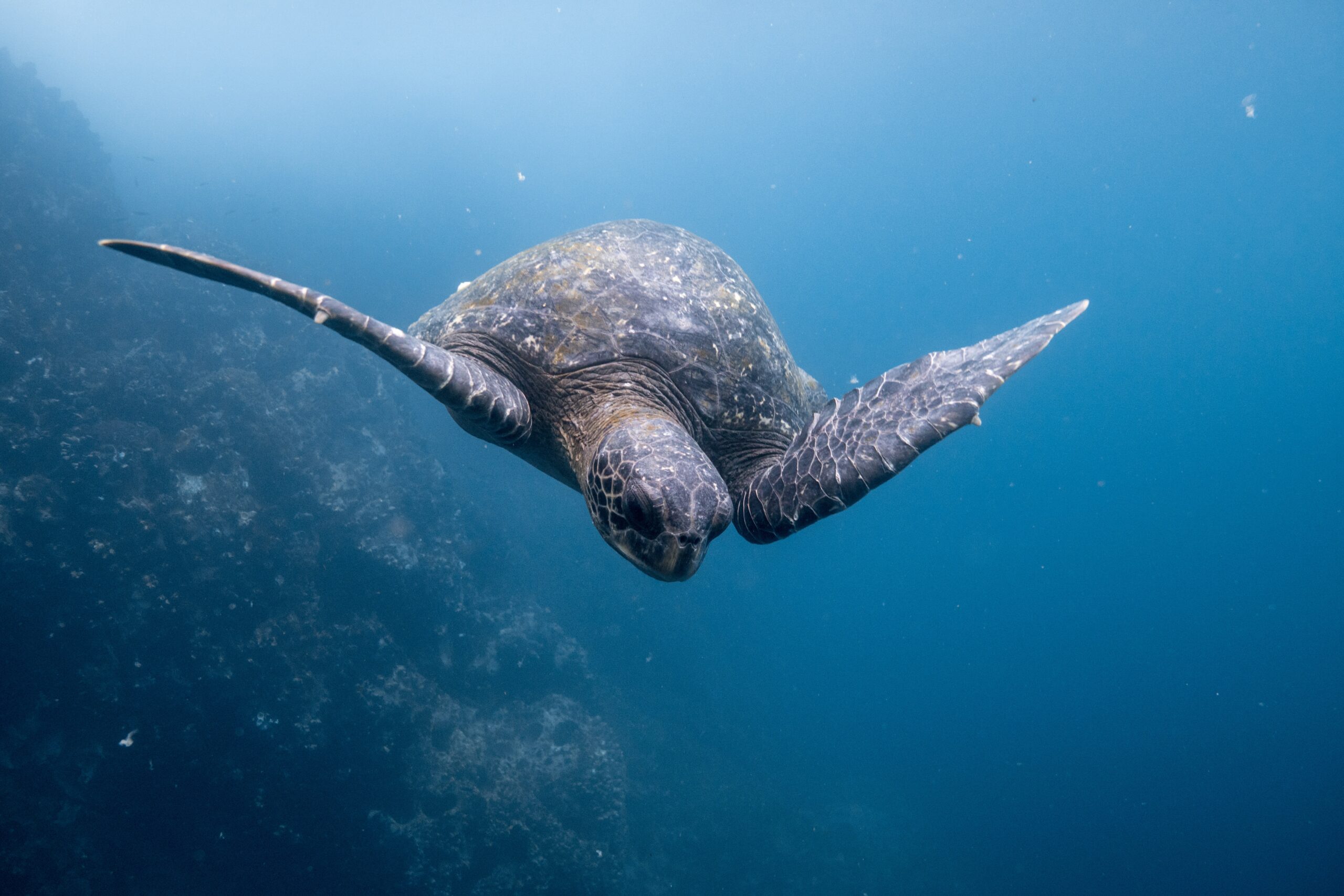
Activities for those visiting Isabela Island and Puerto Villamil often involve exploring the nature and admiring the diverse wildlife and marine life. Snorkelling, swimming and kayaking are great activities to start with when it comes to exploring. Meanwhile, hiking and scuba diving are also all popular activities on the island. After a day of adventure, visitors love to kick back in the quaint town of Puerto Villamil. Known for its interesting history and laidback atmosphere, its perfect for quieter stays (compared to nearby islands).
To learn about all the great things there are to do on Isabela Island, click here.
Find an amazing birds-eye image below of Isabela Island. Find Fernandina to its west and Santiago to its east.
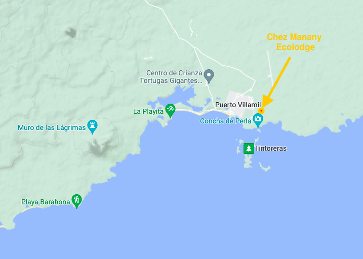
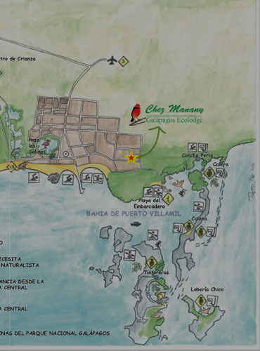
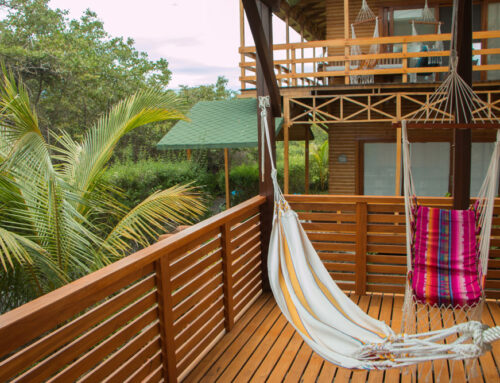
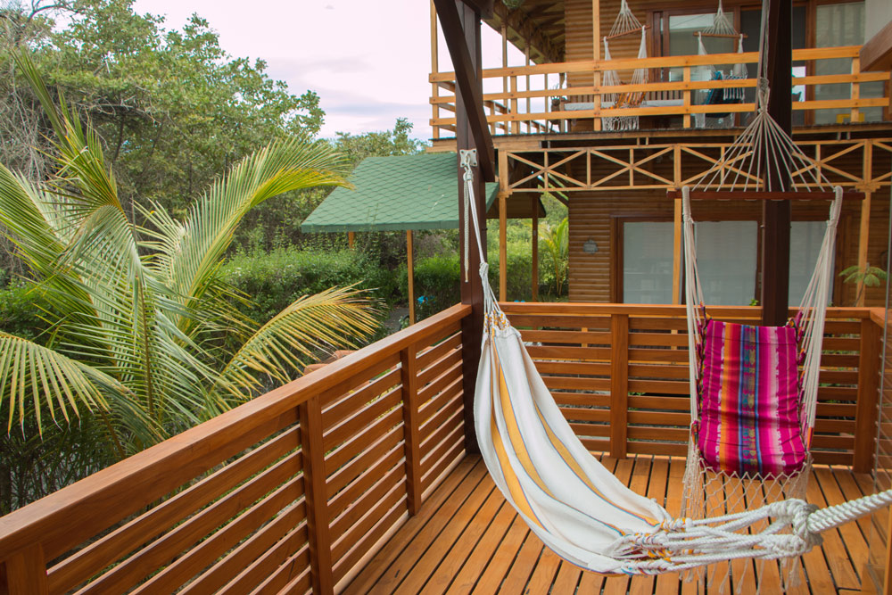
Where is Chez Manany Galapagos Ecolodge Located?
Chez Manany Ecolodge is a family-owned and operated ecolodge located on the edge of the laidback town of Puerto Villamil. Known for its sustainability and eco-friendly approach to tourism, it is a responsible choice for eco-conscious travellers.
You can find the ecolodge on the east side of the town and can walk from the centre of town (and beach) with 15 minutes walking or 5 minutes by bike. Only a few minutes from Concha de Perla, the accommodation puts guests in direct access to snorkelling, swimming and wildlife.
Chez Manany Galapagos Ecolodge
To find out more about Chez Manany Galapagos Ecolodge, click here. We are always happy to answer your questions!
Otherwise, take a look at our blog to answer some of your questions about Isabela Island and the Galapagos.

